


|
Off-Season Training Report - Mt.Norikuradake (Mt.Norikura) 2
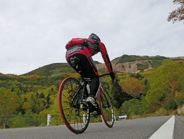
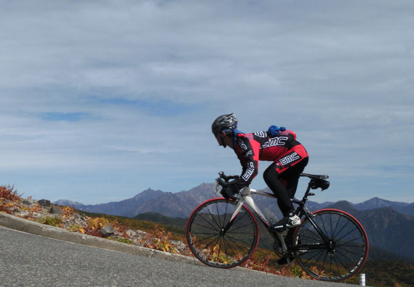
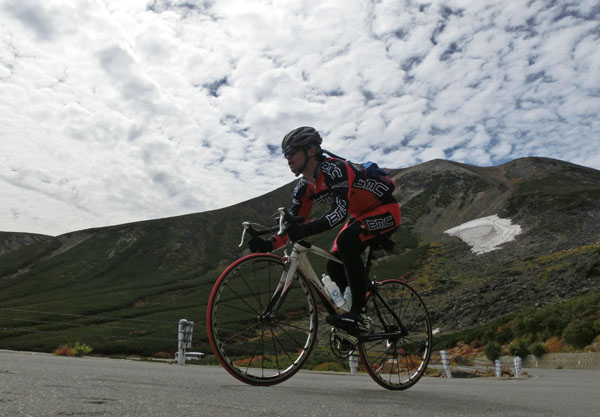
K alone participated in this training.
This day, he wasn't in Hokkaido but in the mainland of Japan: Honshu.
It was 5 degrees Celsius at Norikura Tatamidaira.
Norikura is known as the highest motorable road in Japan.
The highest point is situated at the altitude of 2715m.
Travelled distance: 49km
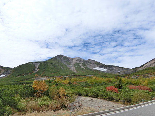
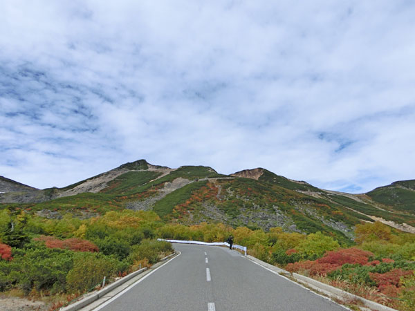
You can see the summit of the route and the Mt.Norikuradake (Mt.Norikura) of which the elevation is 3026m. At the altitude of 1600m, trees are still in green. 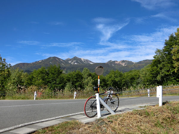
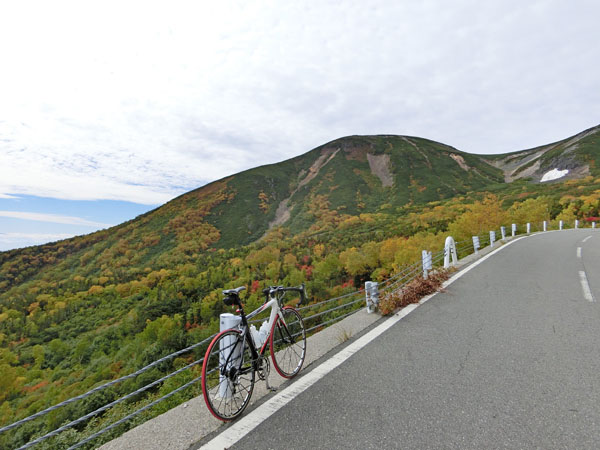
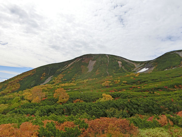
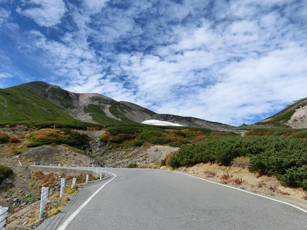
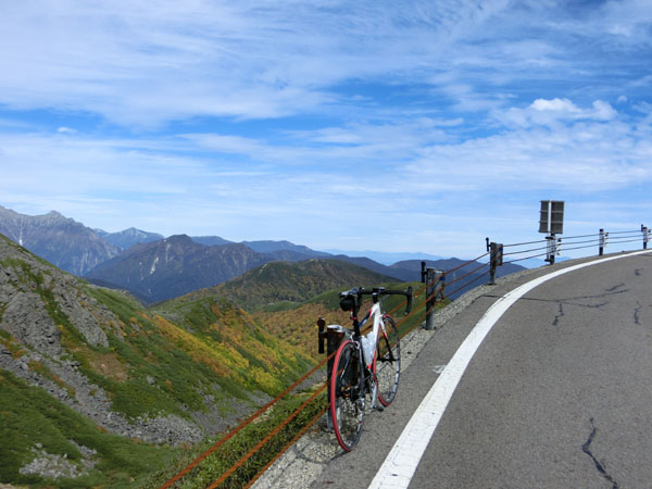
Reaching the altitude of 2000m, leaves are more and more coloured of red or yellow. 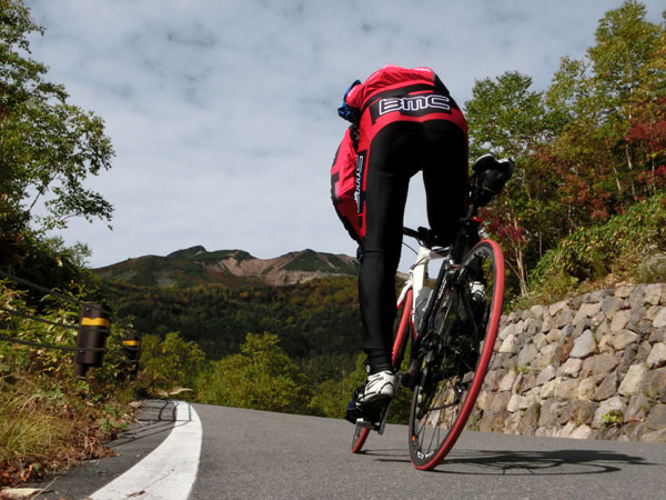
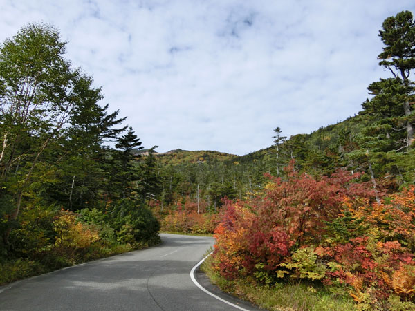
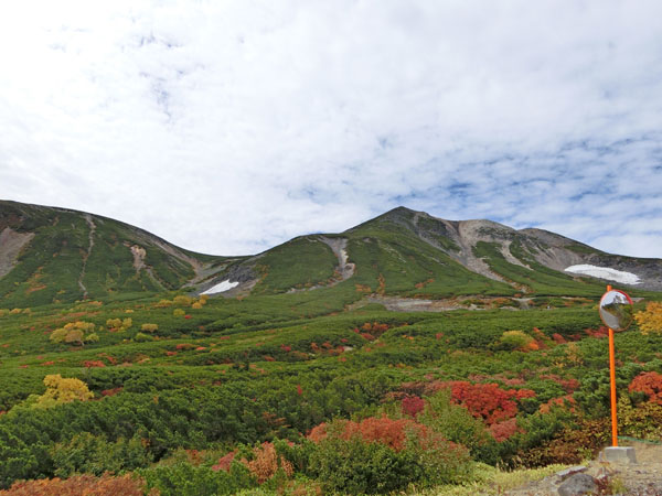
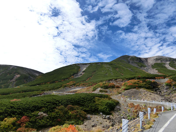
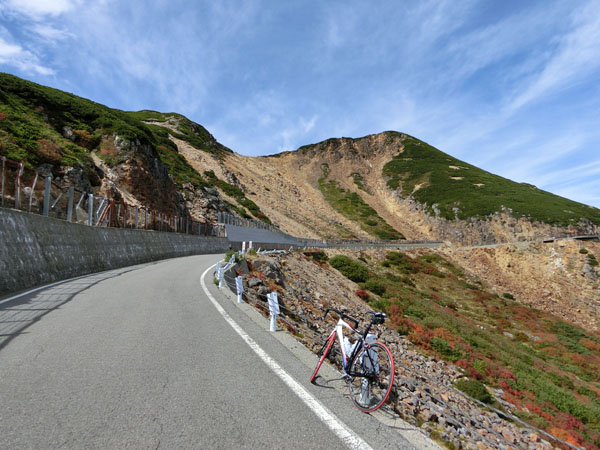
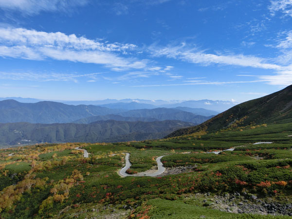
At the altitude of 2300m, the autumn leaves are more pronunced. 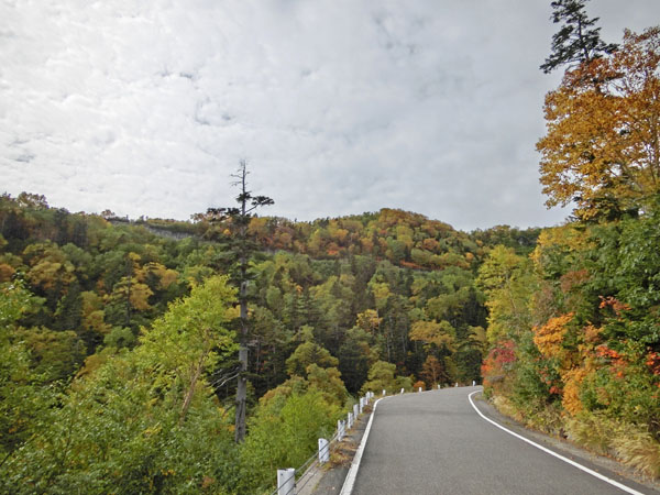
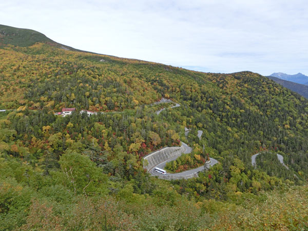
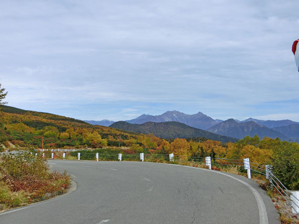
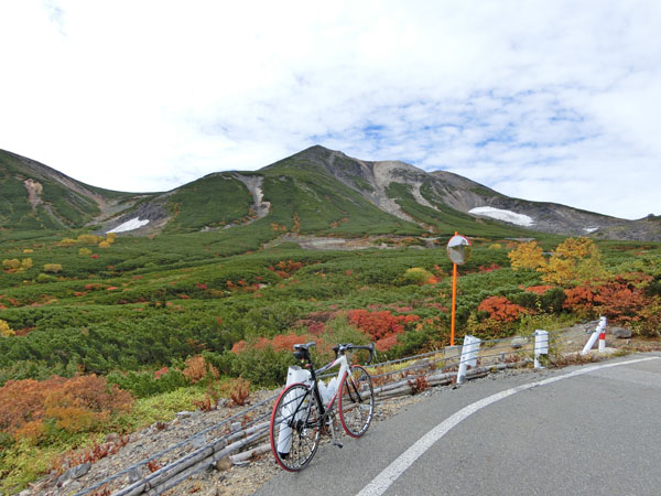
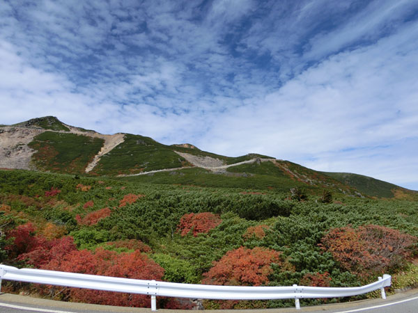
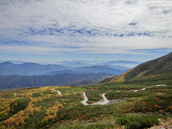
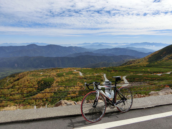
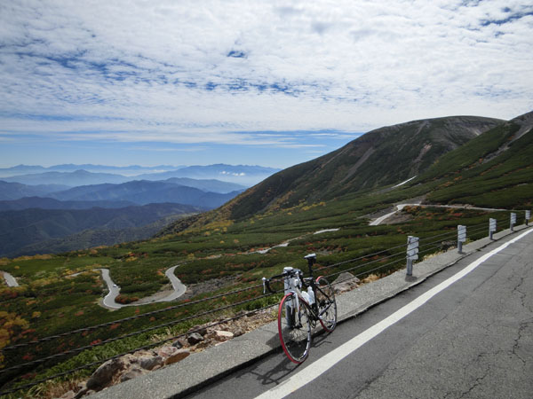
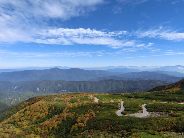
View of the hairpin bends. 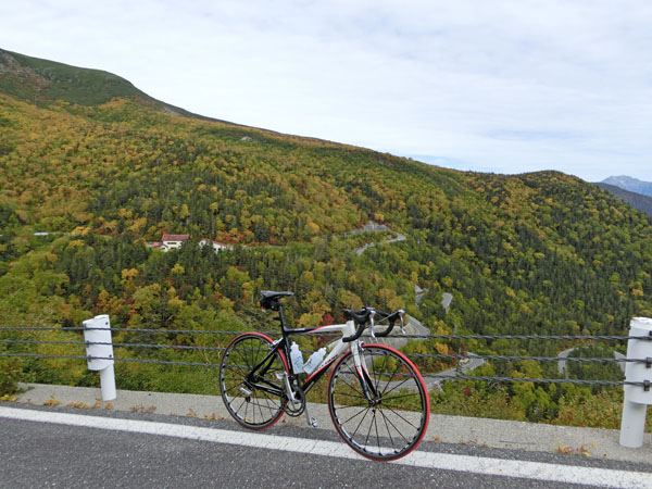
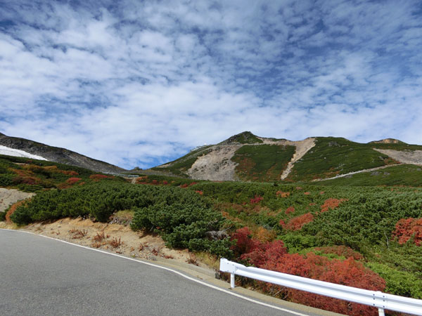
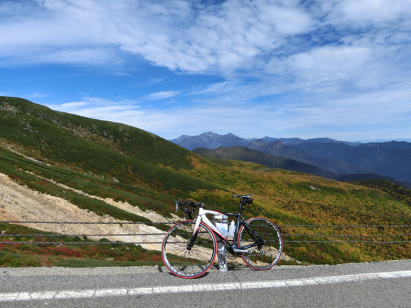
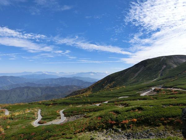
Reaching the altitude of 2400m, the autumn leaves are really beautiful. 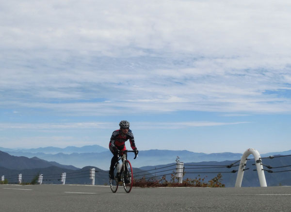
At the altitude of 2500m, we are reaching the tree line. We have less broadleaf trees and more Pinus pumila (in Japan, Pinus pumila is considered as tree which lives above the tree line although it's a kind of tree). 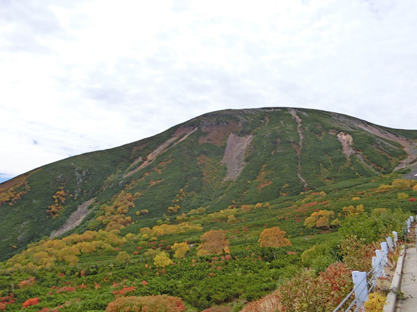
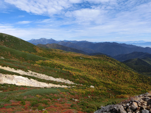
The Mt.Okuhotakadake (Mt.Okuhotaka) 3190m, the highest peak in the Hida Mountains and also third highest mountain in Japan. 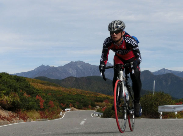
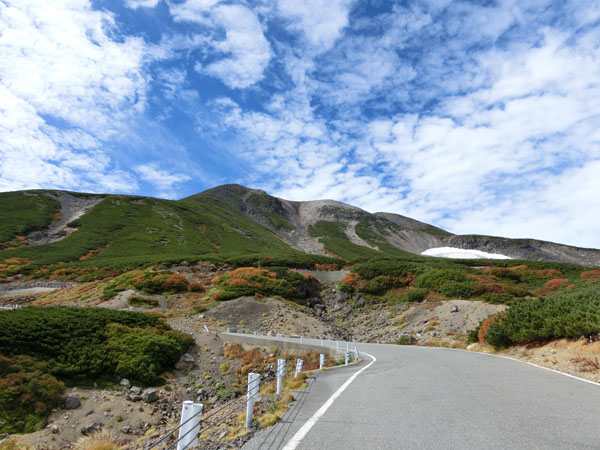
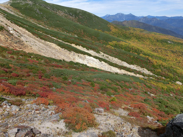
Reaching the altitude of 2600m. 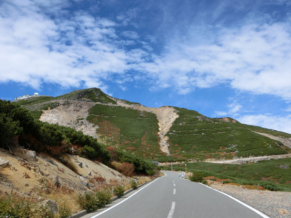
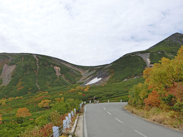
Eternal snow in a valley situated at the altitude of 2700m 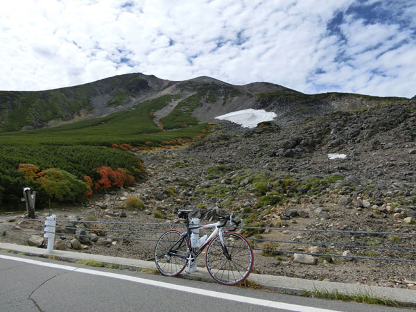
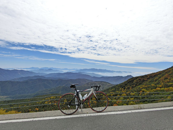
View from the altitude of 2700m. 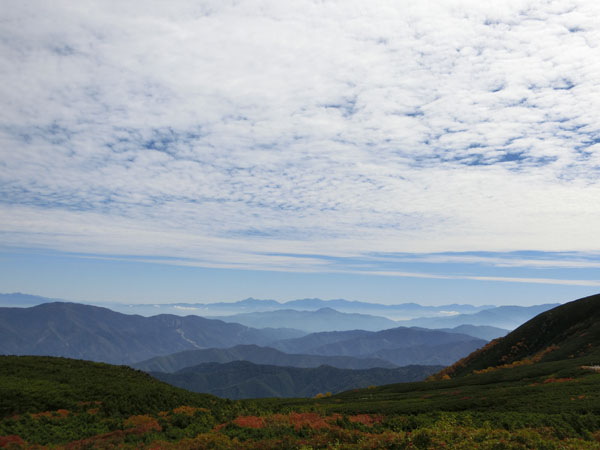

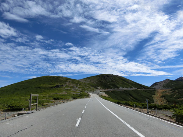
Final approach to the summit. 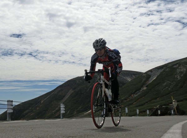
Passing the summit which is the highest motorable road in Japan of which the altitude is 2715m. 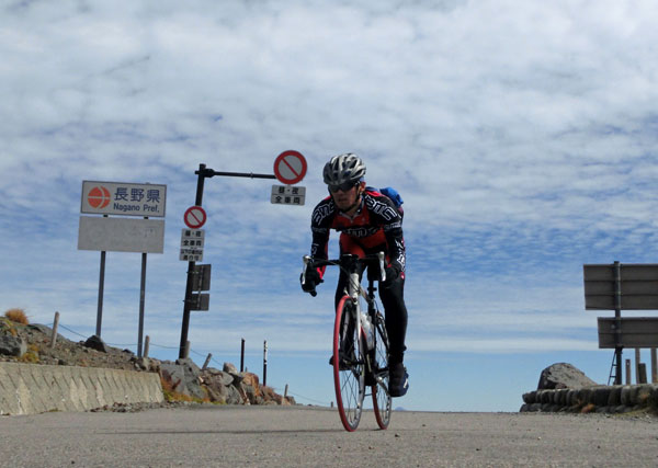
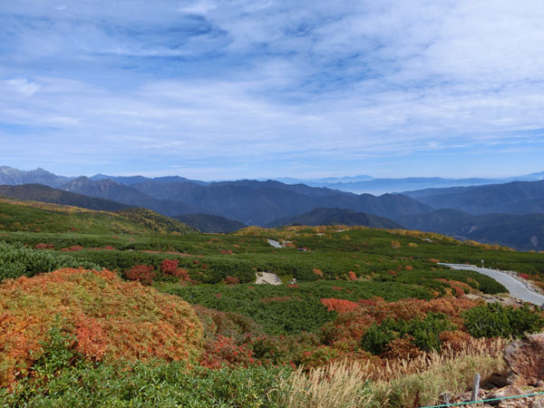
View of Tatamidaira, above the elevation of 2700m. 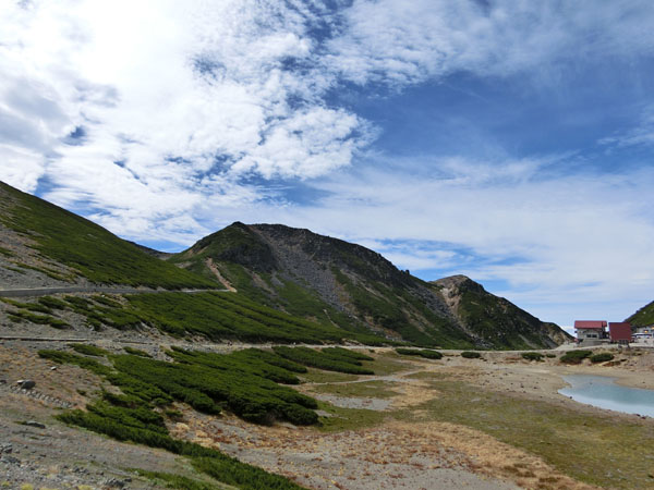
View of the Gifu side. 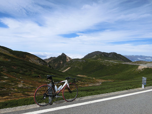
Isolated trees of Betula ermanii above the tree line. 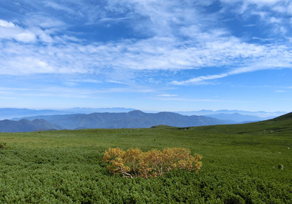
Descending to the Gifu side. 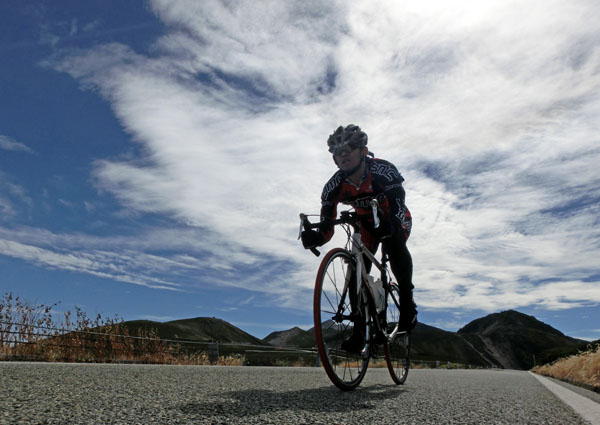
The Mt.Okuhotakadake. 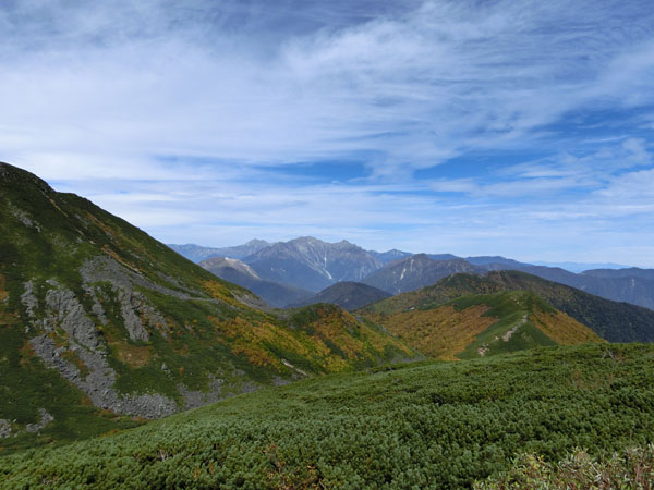
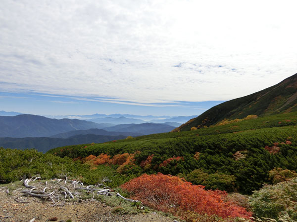
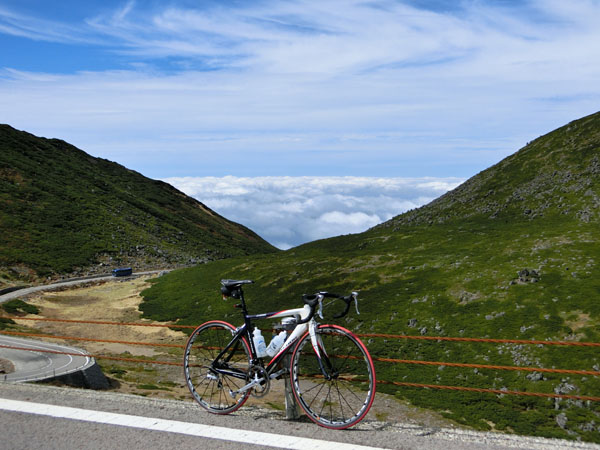
The Gifu side is covered with sea of clound. 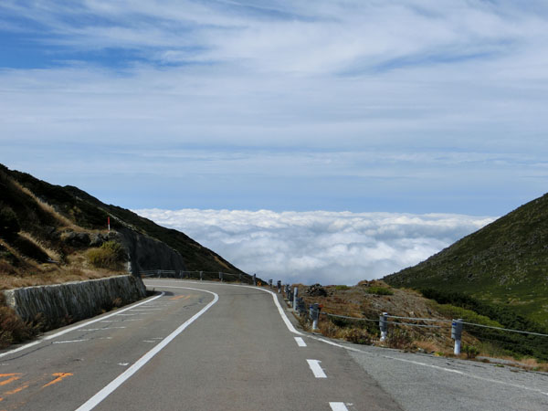
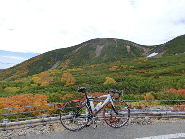
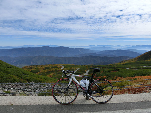
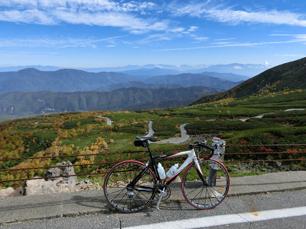
The Mt.Okuhotaka and K's bike. 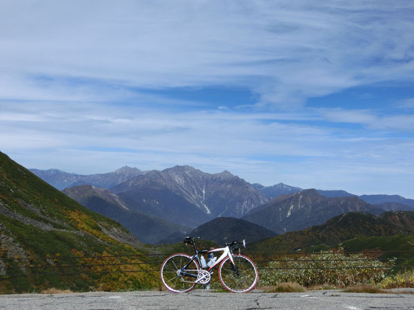
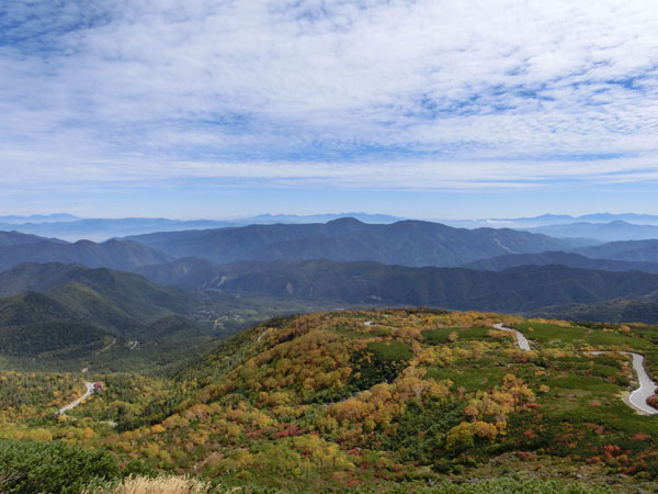
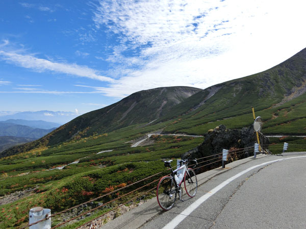
The road of the Gifu side and the Mt.Eboshidake (Mt.Eboshi). 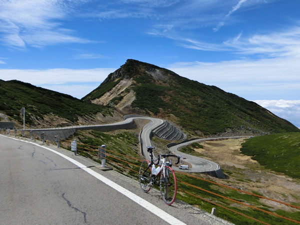
Climbing back to the summit. 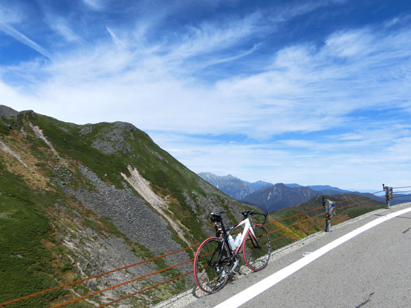
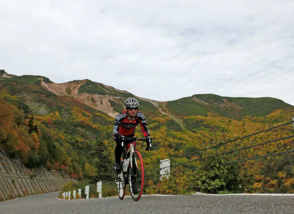
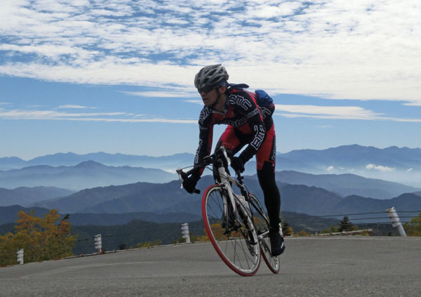
At the altitude of 2650m, he did sprint training several times. It was good to train in a thin air. He needed deeper respiration than on the level lands. 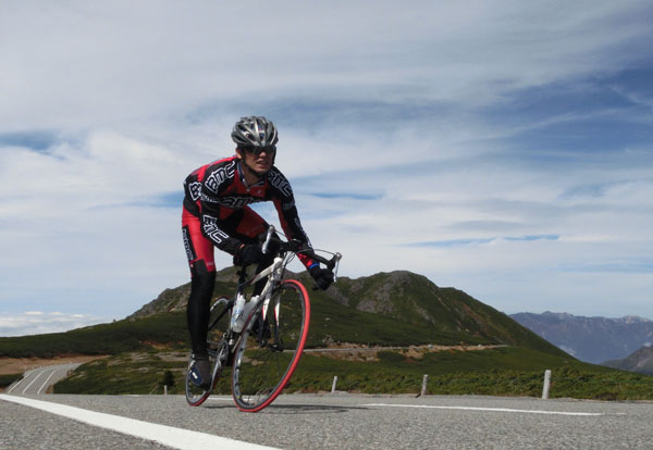
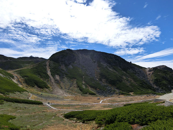
The Mt.Ohnyudake (Mt.Ohnyu) and the Mt.Okuhotakadake. 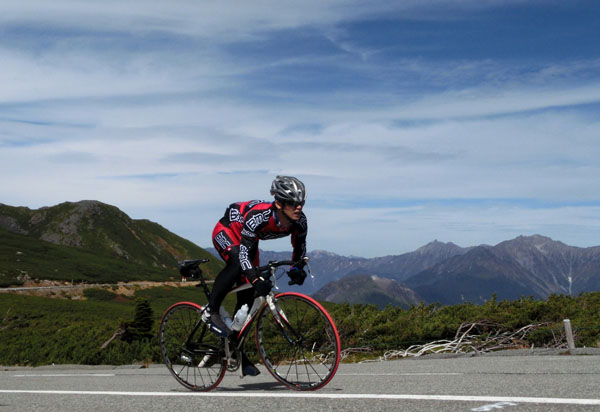
The Mt.Eboshidake. 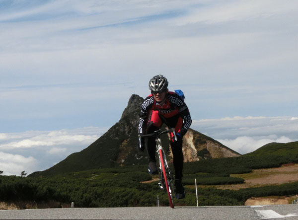
The Lake Ohnyu. 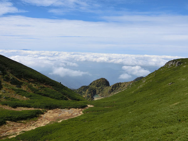
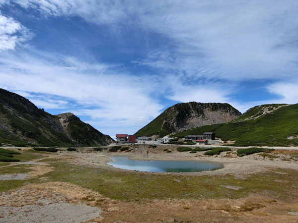
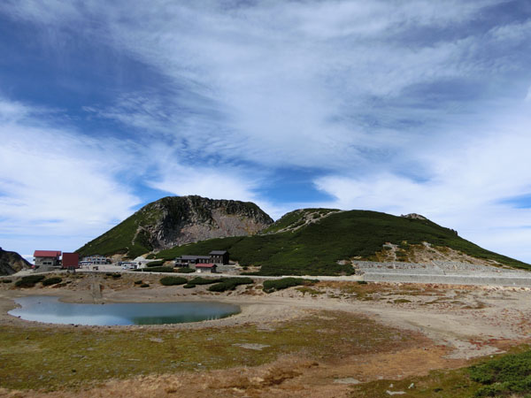
Heading for Tatamidaira. 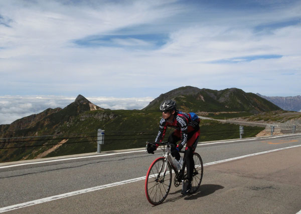
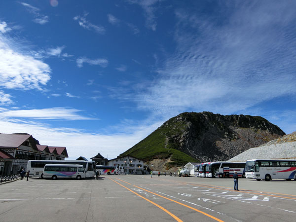
Tatamidaira. 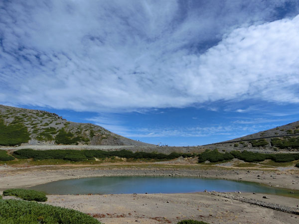
Tatamidaira, the elevation of 2702m. 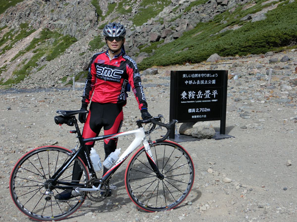
Going back to the Nagano side. He passes the summit, the highest motorable road in Japan again. 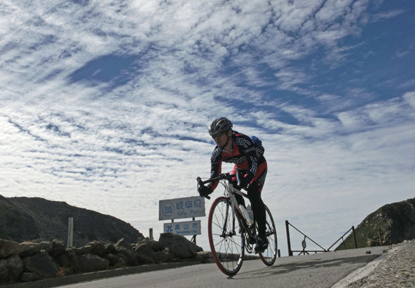
View of Nagano side. 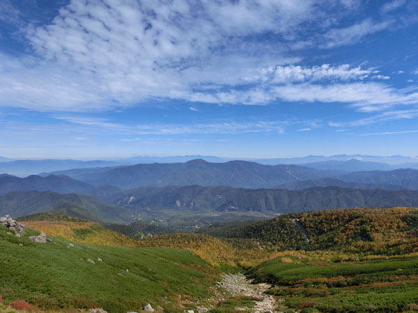
A long descent of more than 20km. It hurts the neck! 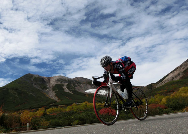

|