


|
Off-Season Training Report - Shiretoko Pass (Trans-Shiretoko Highway) 5K participated in this training. It was 6 degrees Celsius at the Shiretoko Pass. The Trans-Shiretoko Highway is one of the most picturesque routes in Hokkaido. It's also on the list of the 100 best routes in Japan. K loves this route. He says it's the best training route in Hokkaido. View above the tree line is wonderful. However, this route is closed for the traffic during the winter because the route passes in avalanche zones and it's not allowed to construct para-avalanche facilities as it's situated in the National Park and the World Heritage area. At the dawn, the Sea of Okhotsk is covered with clouds. 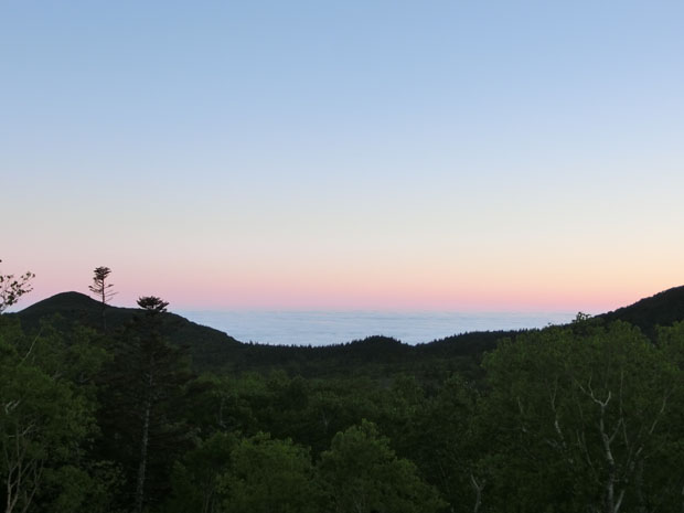
The Nemuro Strait is also covered with clouds. 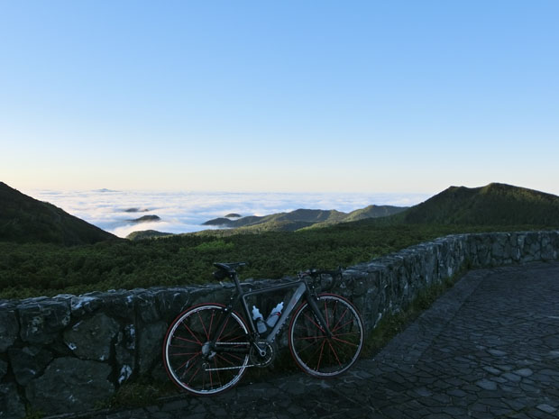
He started his training at the summit. At first, he descends in direction of Utoro. 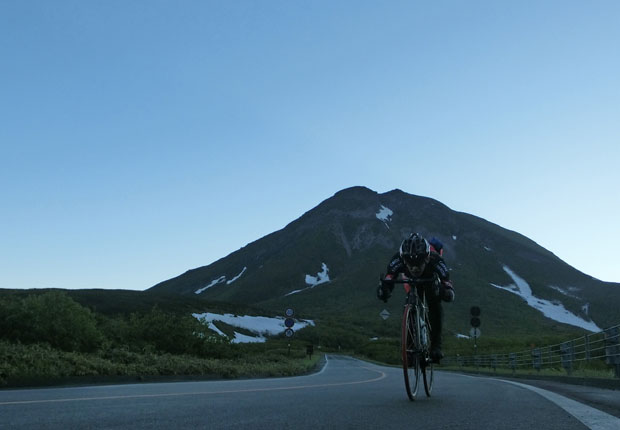
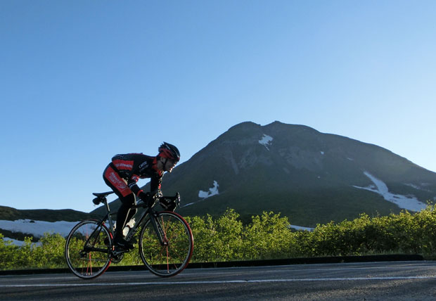
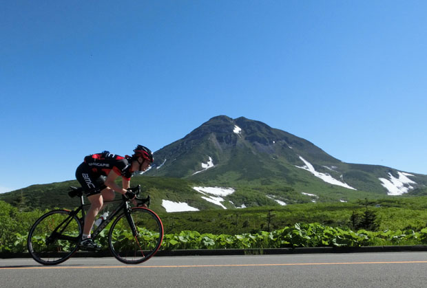
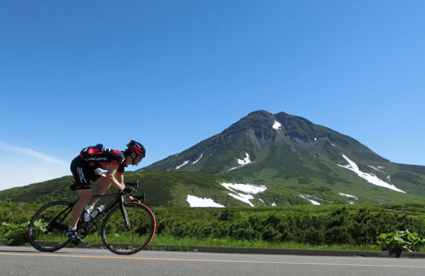
First climb from the Utoro side. The Mt.Rausudake (Mt.Rausu) is beautiful. 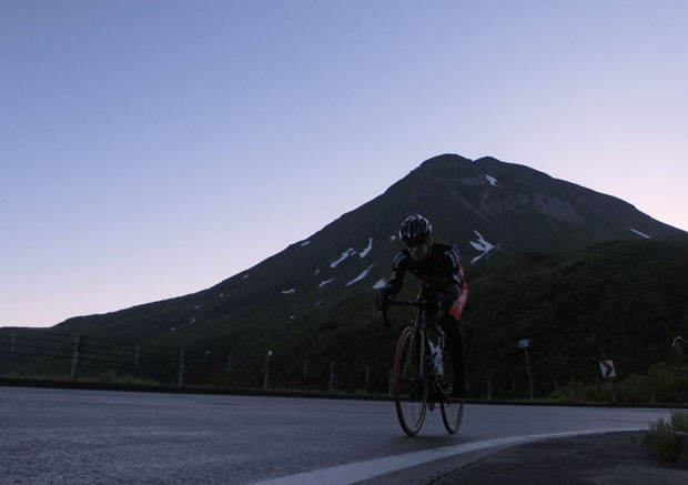
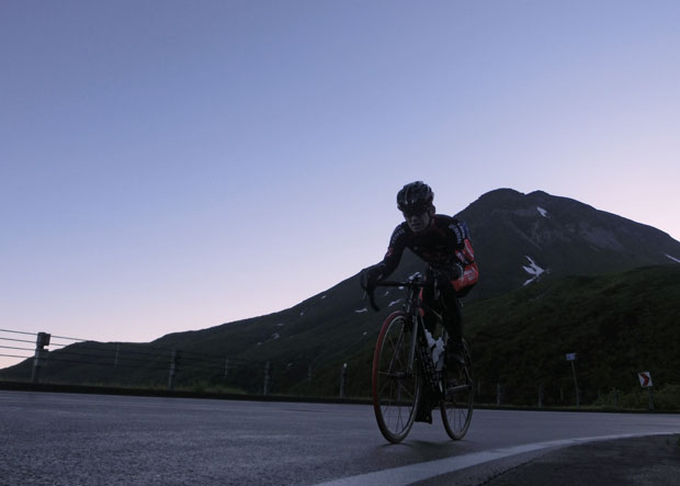
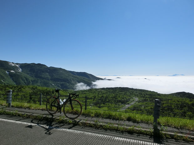
Sea of clouds is behiind him. 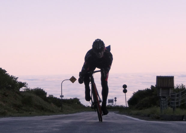
The sun is rising. 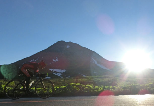
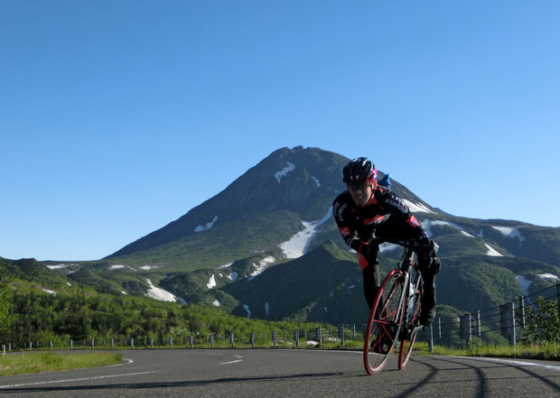
Sprint to the summit. 
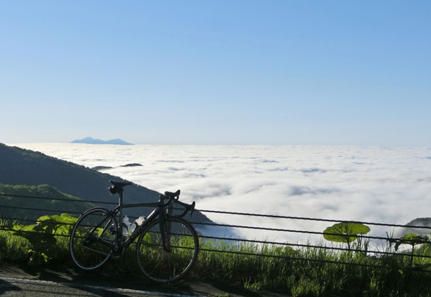
The Nemuro Strait is covered with clouds. 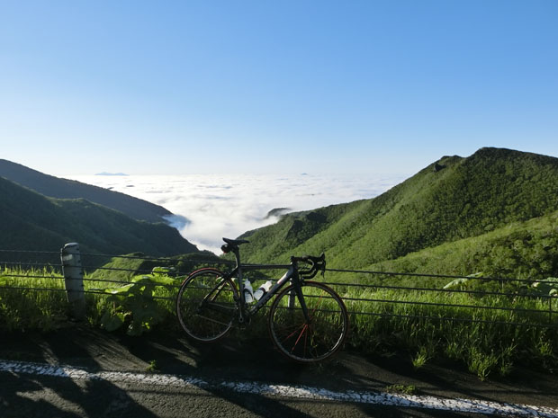
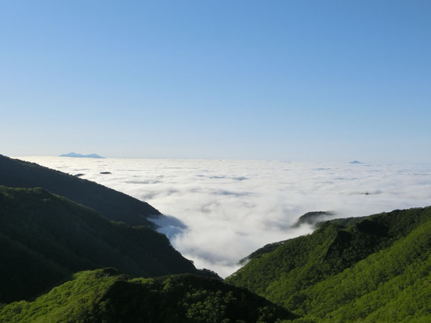
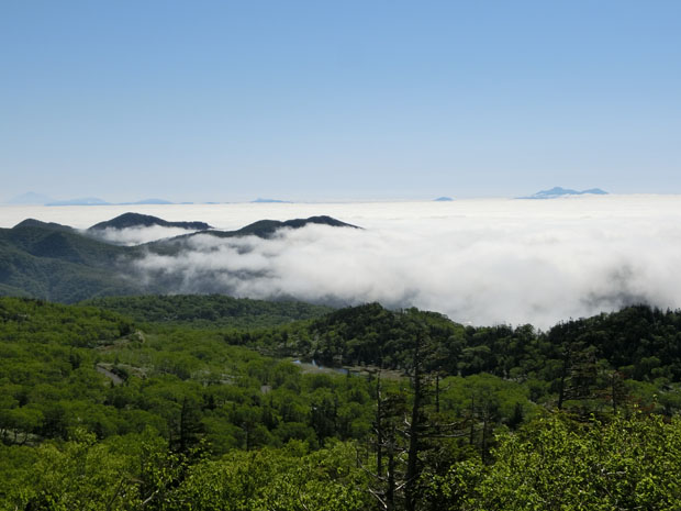
You can see the Kunashir Island above the sea of clouds. 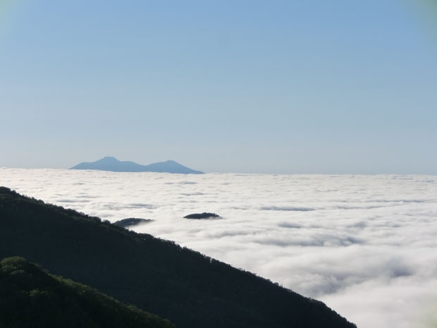
Heading for Rausu. 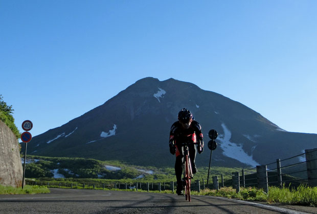
Riding above the tree line. 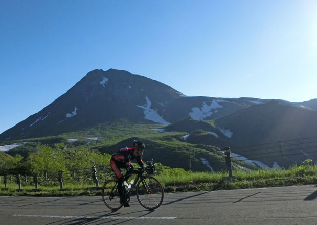
He is descending and reached an altitude below the tree line. A lot of snow still remains in the ravines of the Rausu side even in the early summer although the temperature was extremely high in this spring. This winter, the snow height reached 2 metres in Rausu, which is a record. We have more snow at the Rausu side than the Utoro side as snowdrifts form easily at the Rausu side which lies to the leeward. 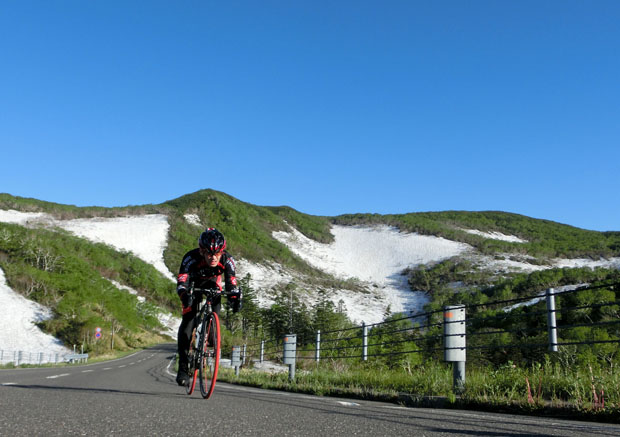
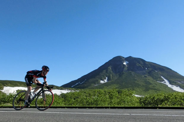
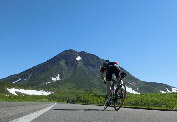
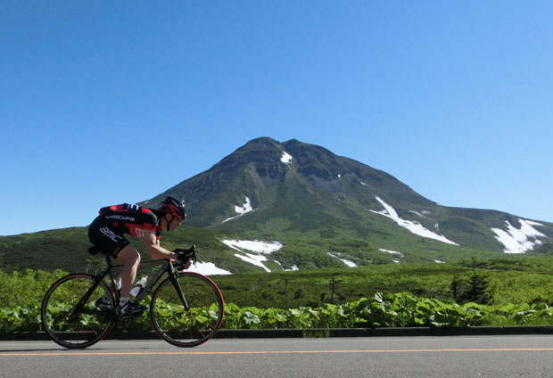
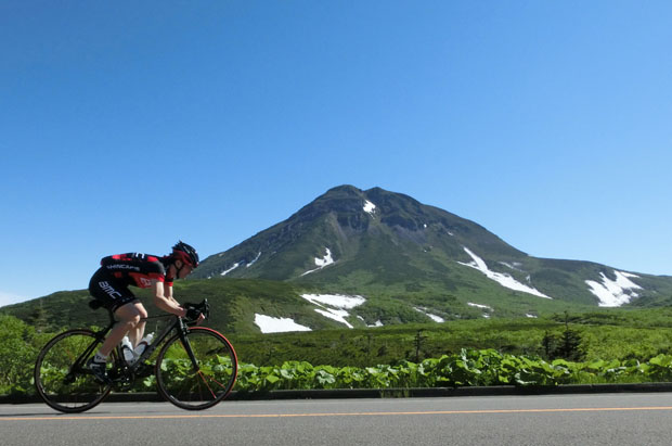
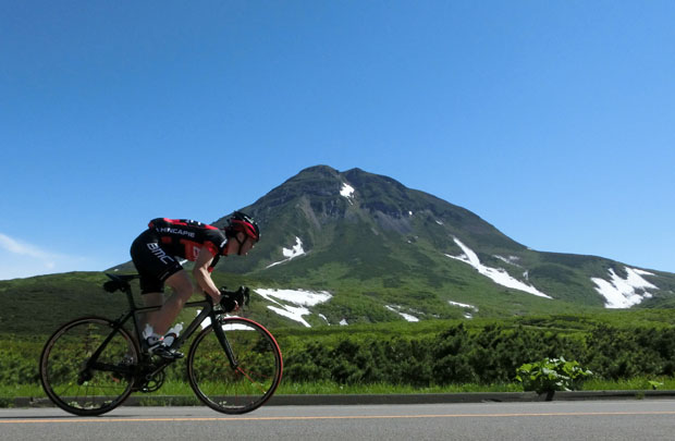
The Mt.Rausudake. 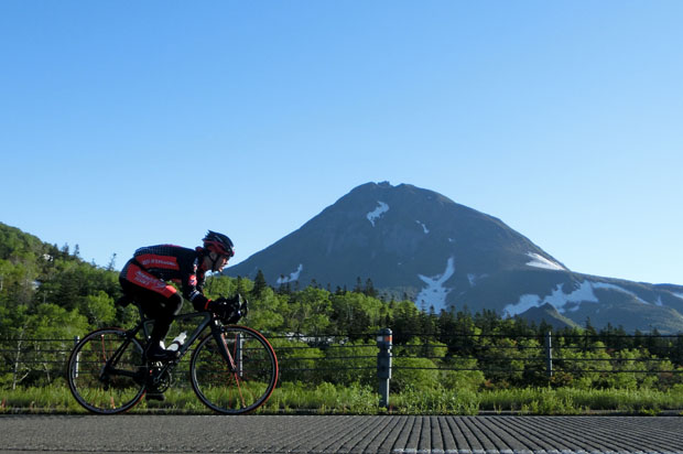
Quitting the snowy ravine. 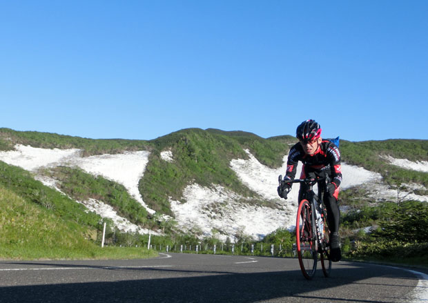
He continues descending. 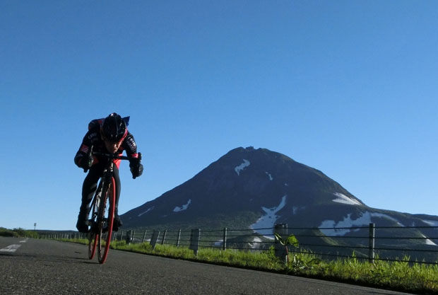
Sea of clouds. 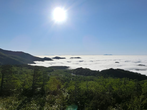
He made a U-turn and began to climb from the Rausu side. 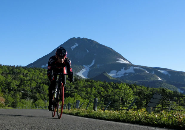
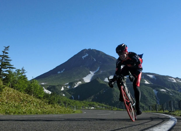
Commencing the sprint training up to the summit. 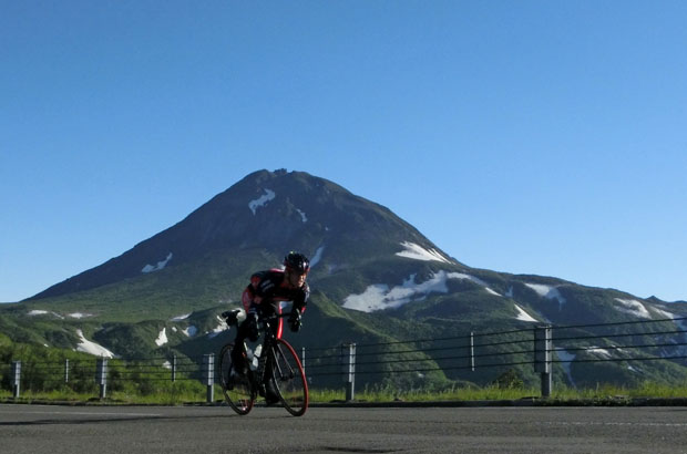
After changing the jersey as the temperature augments, he descends in the direction of Utoro. 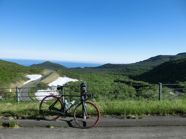
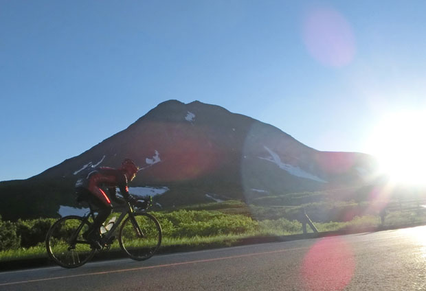
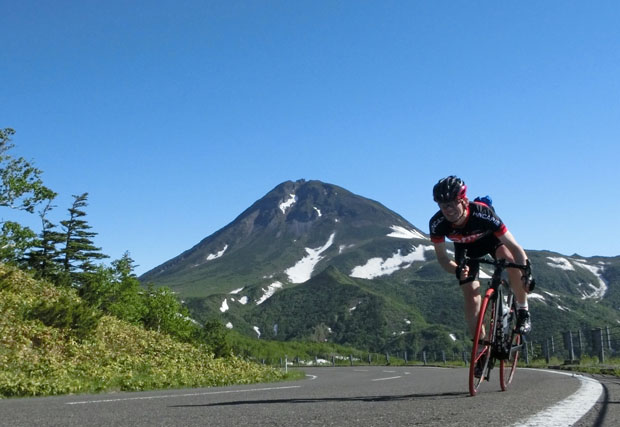
The second climb from the Utoro side. 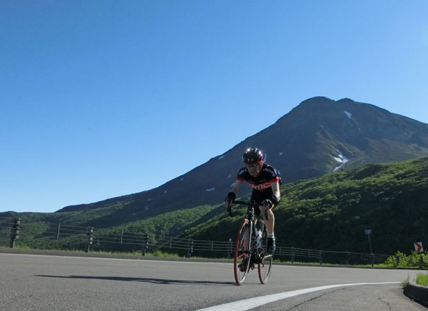
The clounds which were covering the Sea of Okhotsk are already gone. 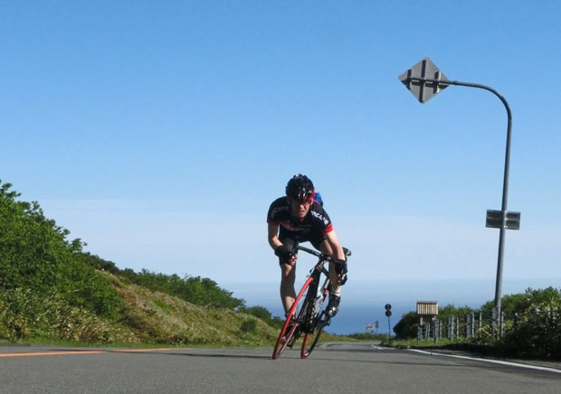
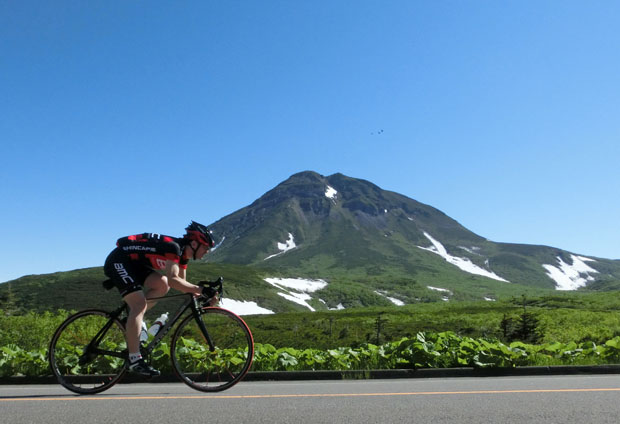
The Mt.Rausudake. 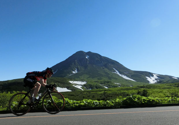
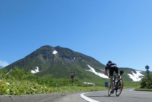
The final appraoch to the summit. 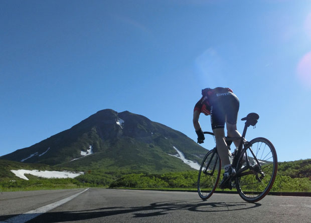
After passing the summit, he heads for Rausu again. 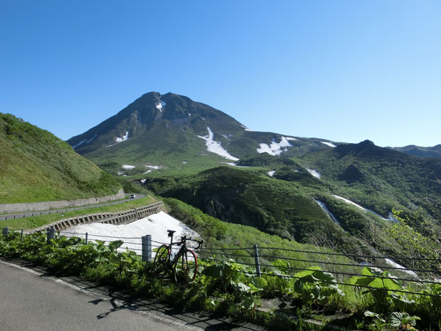
The Nemuro Strait is still covered with clouds. Not like the other side where the sea of clouds are already gone. 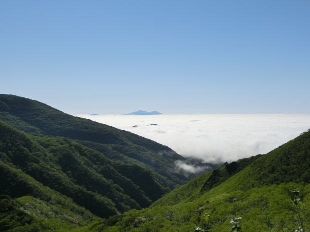
The snow ravine on the south slant of the Mt.Rausudake is in the shape of a rabbit. 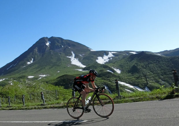
He descends in the direction of Rausu passing the snowy valley. 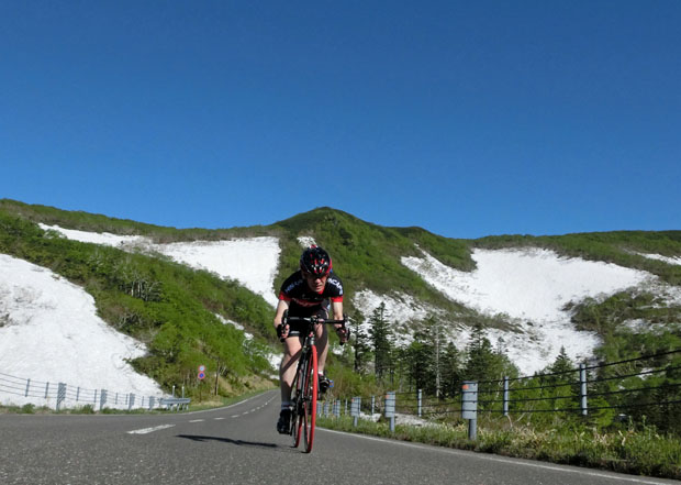
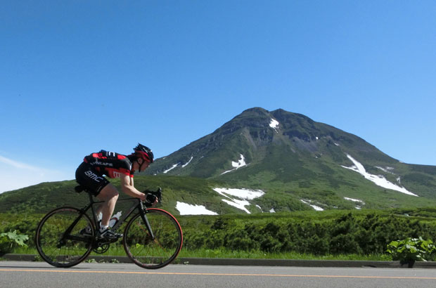
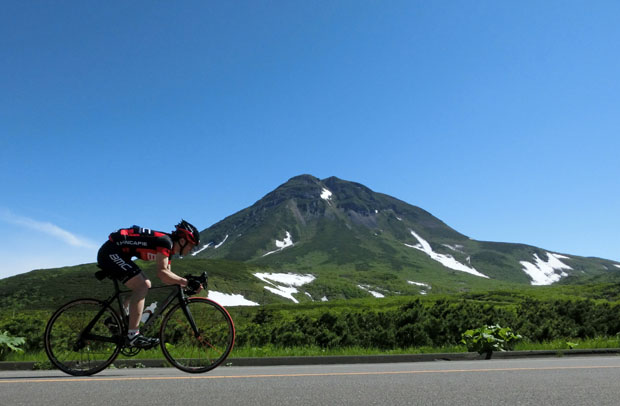
The Mt.Rausudake. 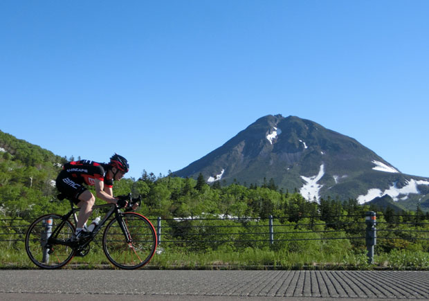
Quitting the snowy valley. 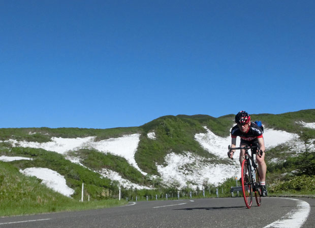
The Nemuro strait is still covered with clouds. 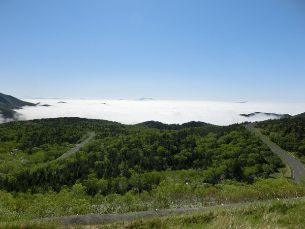
The Mt.Chachadake (Mt.Tyatya) which is located on the Kunashir Island. 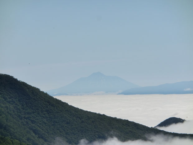
Continues to descend. 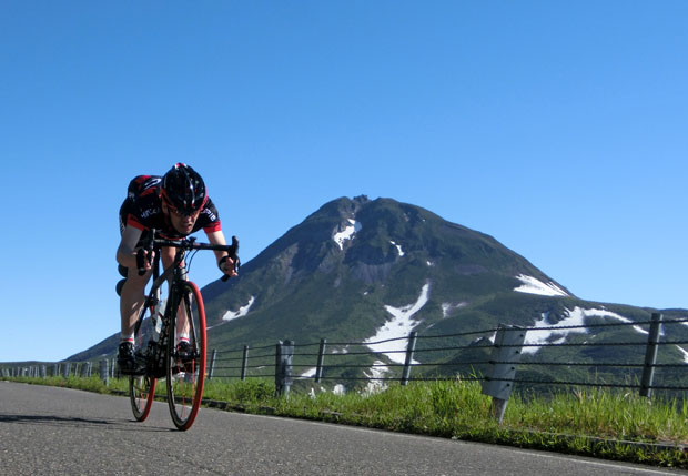
The second climb from the Rausu side. 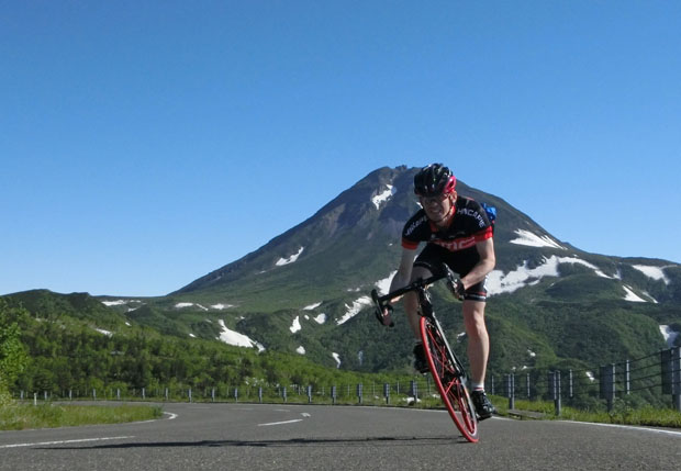
The Mt.Chachadake. 
The sea of clouds. 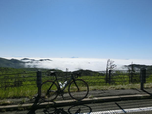
A kilometre sprint to the summit. 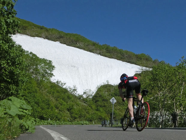

After passing the summit again, he repeated summit sprint training at the Utoro side. 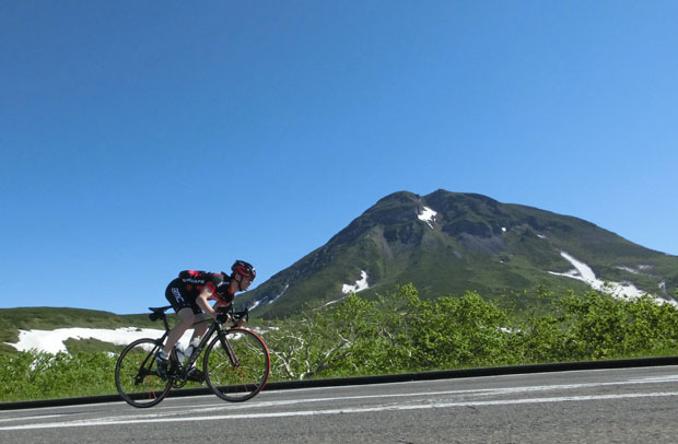


|